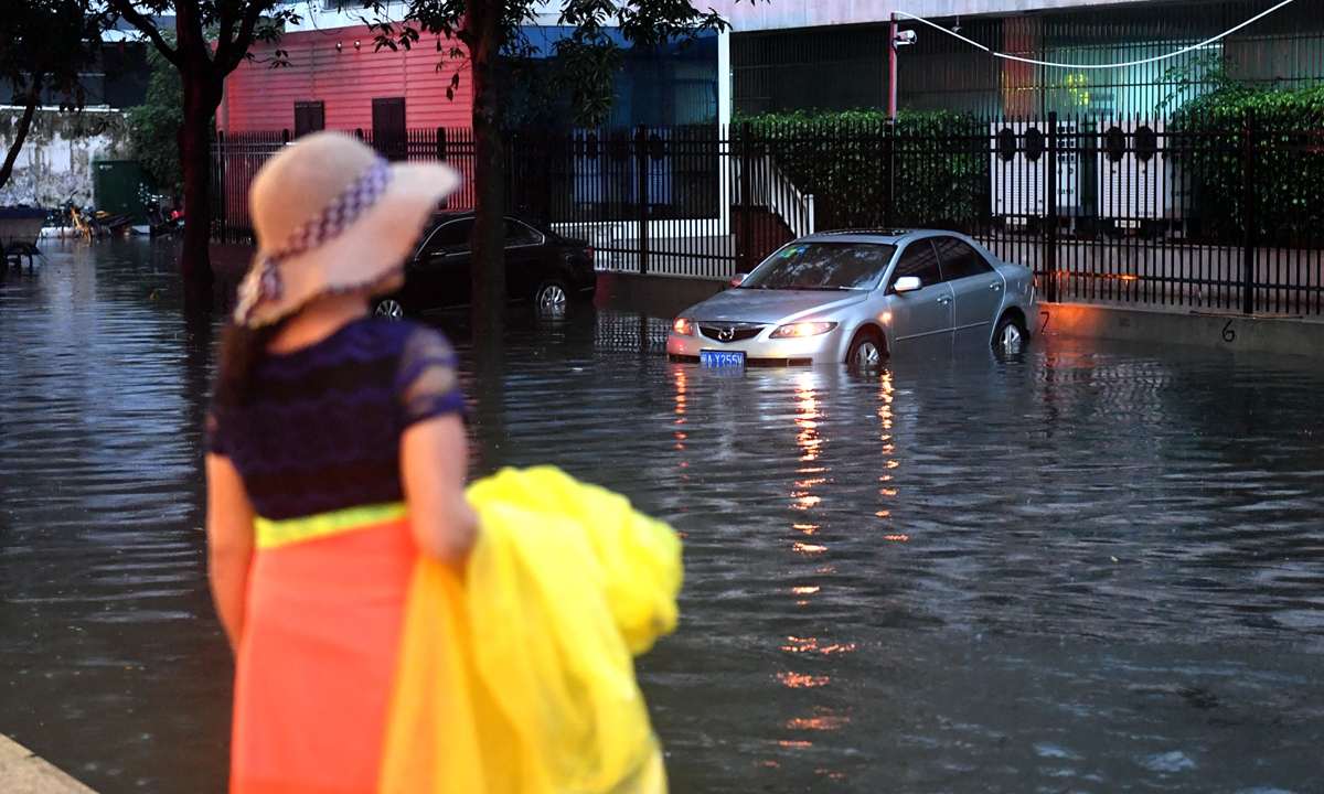
A resident looks at vehicles stuck in the water as a strong rainstorm struck Fuzhou, capital of East China's Fujian Province on Thursday, and caused severe flooding in the streets. Local weather authorities issued an orange alert, the second-highest in China's four-tier warning system, on Thursday evening and forecast precipitation to reach more than 50 millimeters in three hours in urban areas of Fuzhou. Photo: cnsphoto
China entered the main flooding season from Tuesday after experiencing a series of heavy rains in South China since May, said the Ministry of Water Resources (MOWR).A new round of heavy rainfall will be seen in the southern parts of the country from Tuesday to Friday, which may cause floods exceeding warning levels in the Xiangjiang River in Central China's Hunan Province, and four rivers in East China's Jiangxi and Fujian Provinces and South China's Guangxi Zhuang Autonomous Region, it said.
Larger floods may occur in some small and medium-sized rivers in areas with rainstorms.
In Jiangxi, the water level of Poyang Lake, known as the "Kidney of Yangtze River," has reached 18 meters, approaching the 19-meter flood warning level, more than a month earlier than previous years, according to observation from the Institute of Aerospace Information Research Institute of the Chinese Academy of Sciences on Monday.
South China's Guangdong Province launched a level-IV emergency response to flood prevention, also raising the alert for risks of waterlogging, on Monday. Twelve hydrometric stations in the province recorded heavy rain of more than 250 millimeters, with the largest cumulative rainfall being 476 millimeters, from Sunday night to Monday morning.
In Hunan, local water resources authorities and the Hydrological Bureau of the Yangtze River jointly carried out an emergency monitoring exercise at the section of the river along the Xiangjiang River on May 26 in response to flood warnings, said MOWR on Monday.
The exercise was aimed at simulating a situation in which heavy rains cause excessive floods to occur in the lower reaches of the Xiangjiang River, leading to a bank collapse that eventually leads to water flooding into cities and causing pollution incidents.
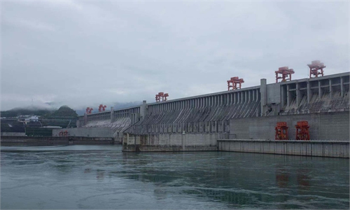
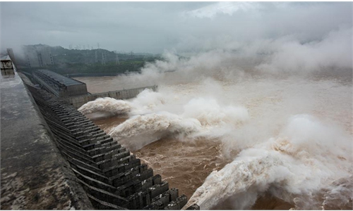
The water level of the Three Gorges Reservoir was expected to fall under the 145-meter limit set to control flooding before June 10 as planned, an official from MOWR said on Thursday, noting that 47 reservoirs along the Yangtze River basin have made preparations to relieve floods, most of which had been discharged to full levels.
The ministry said on May 24 that it had made sufficient preparations to cope with the coming flooding season.
It noted that the flood situation in May is within the normal range, similar to previous years, but it is still possible that the situation might further develop.
South China has seen heavy rainfalls and rising water levels in major rivers since the middle of May.
The Yangtze River Commission of the MOWR on May 24 launched a level-Ⅳ emergency response for flood prevention in the Yangtze River, where the water level of the main control stations in the middle and lower reaches is about 2.3 to 4.1 meters higher than historical levels, and 4.6 to 7 meters higher than the same period in 2020.
Seven hydrometric stations along the Yangtze River saw water levels exceed warning thresholds, mainly along the main tributaries of Poyang Lake. The amount of water flowing into Poyang Lake from the five rivers exceeded 30,000 cubic meters per second.


