BRICS countries agree to enhance cooperation in remote sensing satellite data sharing to cope with climate change, major disasters

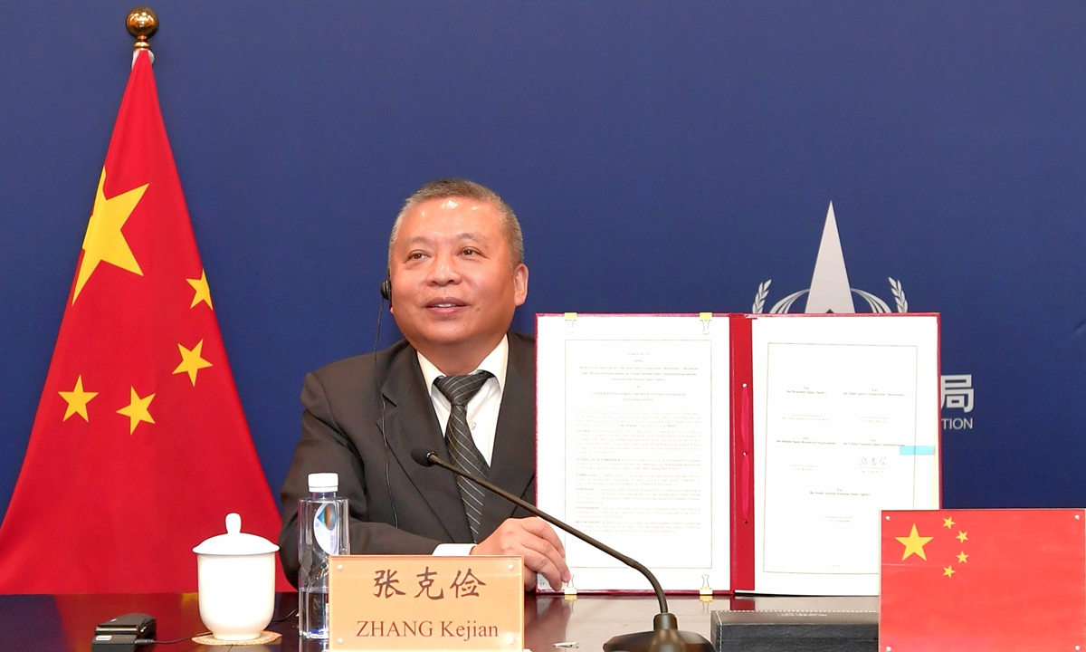
Photo: CNSA

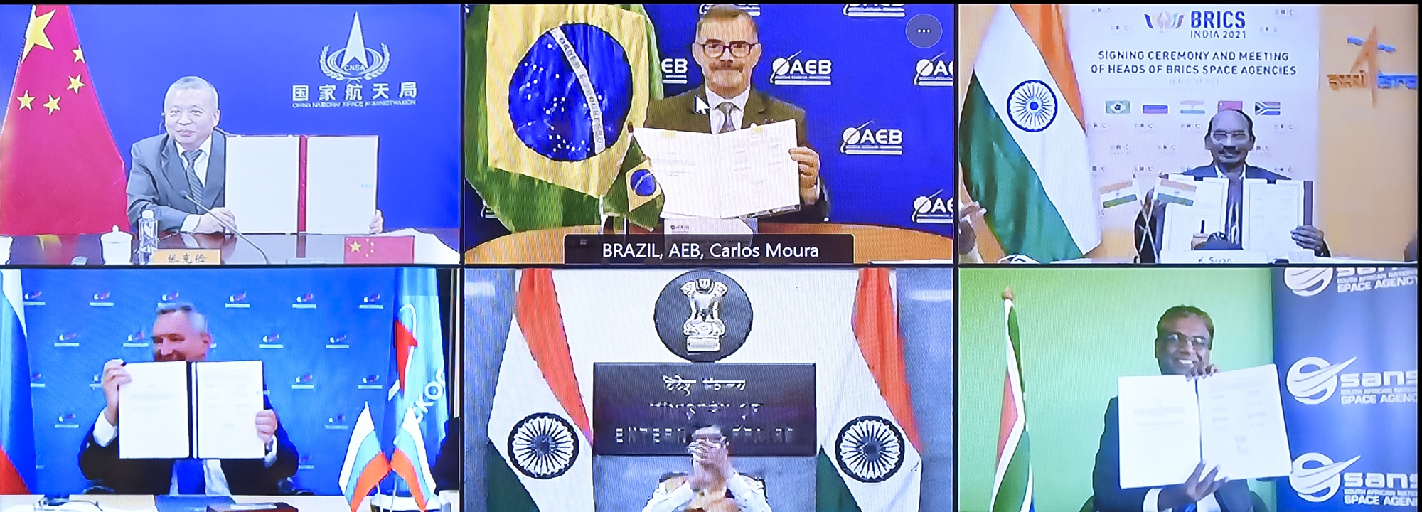
Photo: CNSA
Leaders of BRICS countries’ state space agencies held a virtual meeting on Wednesday. Apart from sharing update on each other space agencies’ activities, the leaders also signed an agreement on cooperation on BRICS Remote Sensing Satellite Constellation, aiming to help cope with common challenges for the mankind such as such as climate change, major disasters and environmental protection, Global Times learned from China National Space Administration (CNSA) on Wednesday.
According to the CNSA, such agreement would enable “cooperation among BRICS space agencies to build a ‘virtual constellation of remote sensing satellites’, as a data sharing mechanism, made up of existing satellites contributed by BRICS space agencies.
CBERS-4 (jointly by Brazil and China), Kanopus-V type (of Russia), Resourcesat-2 and -2A (of India) and GF-6 and ZY-3/02 (of China) will be the contributed satellites, according to the CNSA.
Ground stations located in Cuiaba of Brazil, Moscow Region of Russia, Shadnagar–Hyderabad of India, Sanya of China and Hartebeesthoek of South Africa will receive data from the said satellites.
Such remote sensing data sharing mechanism among BRICS space agencies will help in coping with the challenges faced by mankind, such as global climate change, major disasters and environmental protection, the CNSA said.

