File Photo: IC
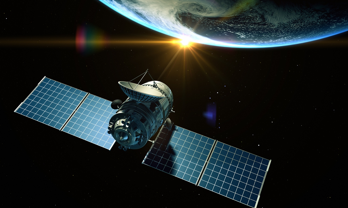
China is planning on building up a constellation of very-low Earth orbit satellites, and the first launch will be this September, the Global Times learned from China Aerospace Science & Industry Corporation (CASIC) on Wednesday.
Very-low Earth orbit refers to an altitude of 150 to 300 kilometers away from the Earth. Compared with traditional orbits, satellites flying at very-low Earth orbit require less research and development costs and have enhanced efficiency in information acquisition and transmission. This allows for batch production of satellites and high-density launches, the Global Times learned from CASIC on Wednesday.
Take remote sensing application for example. Given that the resolution performance is the same, very-low Earth orbit satellites have much less weight and cost. They can respond quickly to natural disasters and other emergencies, acquiring high-resolution images in a short period of time, thus improving the capability of information acquisition.
Therefore, very-low Earth orbit satellites have a high application value and great potential.
"In today's world, competition in the field of science and technology is becoming more and more prominent. China has proposed building a remote sensing space infrastructure system with global coverage and efficient operation in the 14th Five-Year Plan (2021-2025), Song Xiaoming, a member of the National Committee of the Chinese People's Political Consultative Conference and head of the Second Institute of CASIC, told the Global Times.
To achieve this goal, CASIC will build a satellite constellation in very-low Earth orbit so that it can reach a performance level that rivals traditional orbital satellite systems while offering lower costs and faster responses. It will also support the constellation construction with rapid batch manufacturing and launch capabilities.
The first satellite of the series will be ready to be launched in September, the Global Times learned. It will verify and demonstrate key technologies such as very-low Earth orbit flight, high-resolution Earth imaging, intelligent processing, and direct transmission of information to user terminals.


