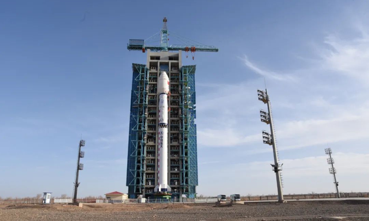
Photo: Courtesy of China Aerospace Science and Technology Corporation
China successfully launched Fengyun-3G into space on Sunday morning, its first satellite dedicated to measuring precipitation, especially heavy rainfalls during catastrophic weather in global regions of low- and mid-latitude, which could provide a powerful tool for monitoring and forecasting of global meteorological disasters.
Launched by China's Long March 4B rocket from the Jiuquan Satellite Launch Center in Northwest China's Gansu Province, the satellite can accurately sense minute changes in precipitation intensity in the atmosphere, such as the intensity of drizzle at 0.2 millimeters per hour, which reached an international advanced level of accuracy, the Global Times learned from the satellite developer, the Eighth Research Institute under China Aerospace Science and Technology Corporation.
Fengyun-3G is designed to track heavy rainfalls during disastrous weather conditions and can provide information on the 3D structure of precipitation in the Earth's low- and mid-latitude regions.
Unlike previous sun-synchronous orbit satellites which pass the Earth's north and south poles during each orbit, Fengyun-3G adopts a "low-Earth orbit" with an inclination of 50 degrees and will first head southeast toward China. This track design can help the satellite move between 50 degrees north latitude to 50 degrees south latitude where global rainfalls are concentrated.
Besides precipitation measurement radar and moderate resolution imaging spectroradiometer, Fengyun-3G includes a newly upgraded microwave radiance imager, which can receive the 10 to 183GHz microwave radiation energy in the atmosphere and obtain the typhoon's internal temperatures and humidity structure, its intensity, and typhoon-affected area rain intensity to allow for accurate predictions.
China falls within the typhoon activity zone of western North Pacific Ocean and the heavy rainfall and flooding linked to typhoons has become a more frequent occurrence in some Chinese cities.
After the launch, the satellite observation data in China's global weather prediction model can have an update every four hours with a 3-percent increase in accuracy. While the efficiency of monitoring meteorological disaster can be doubled.


