China's self-developed intelligent platforms enhance marine early warning, forecasting capabilities
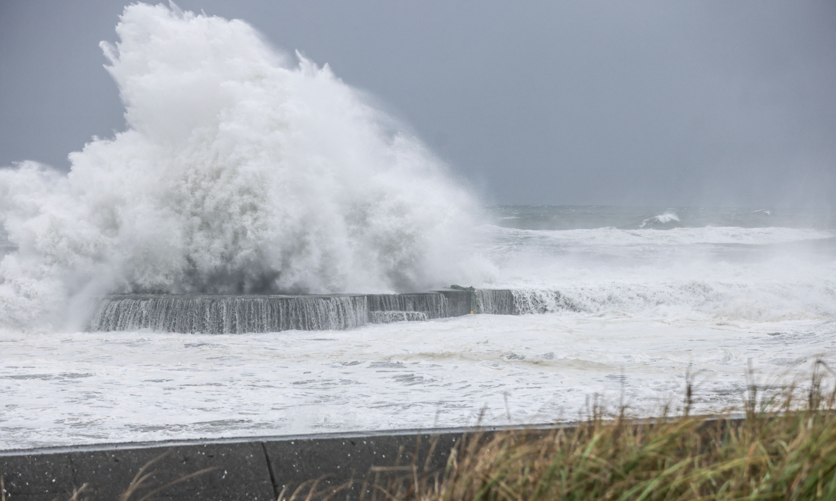
As Typhoon Gaemi approaches, huge waves pound the shore in Yilan, China's Taiwan island, on July 24, 2024. Photo: VCG
China has made significant progress in developing advanced intelligent tsunami monitoring and early warning platforms in recent years. These advancements have greatly enhanced the timeliness and accuracy of marine warning and forecasting, which is crucial in the face of climate change and the rising frequency of extreme weather events.
These platforms, independently developed by China's National Marine Environmental Forecasting Center (NMEFC), integrate multiple subsystems, including global seabed earthquake monitoring, global water level monitoring, a GPU-based parallel Pacific tsunami forecasting model, and a tsunami scenario database, thus enabling rapid predictions and warnings to be issued with precision and efficiency.
Given that about 80 percent of tsunamis in the world are triggered by earthquakes, China's current warning system mainly focuses on tsunamis induced by earthquakes, which is essentially a system that combines real-time monitoring of earthquakes with tsunami warnings, said Wang Peitao, deputy director of the NMEFC, the China News Service reported on Thursday.
The system is designed to provide tsunami warning responses for underwater earthquakes with a magnitude of 6.0 or above globally, as well as earthquakes with a magnitude of 5.5 or above in the offshore area of China. It has the ability to quickly determine preliminary earthquake parameters within three to five minutes, and then transmit these parameters in real time to the tsunami warning system, triggering the corresponding warnings.
Compared to early systems that could only make forecasts based on human experience, current systems can provide quantitative forecasts of tsunami arrival time, wave height, and warning levels for different coastal locations, as well as corresponding response measures.
According to Wang, the system integrates real-time ocean data from over 600 stations worldwide, including along the coast of China. It can complete parameter calculations for these regions in about three minutes, shortening warning times.
In addition, the system, with the help of a global observation network, has specially configured buoys for tsunami monitoring. These buoys are carefully deployed around fault lines prone to triggering large tsunamis, ensuring that the size of the tsunami can be quickly determined approximately 20 minutes after an earthquake, further enhancing the timeliness and accuracy of warnings.
The NMEFC also operates a tsunami warning system in the South China Sea region, which can provide real-time tsunami warning services to coastal countries along the South China Sea, Sulu Sea and Sulawesi Sea.
According to media reports, from January to July, China's Ministry of Natural Resources initiated emergency responses to marine disasters 12 times, issued 106 marine disaster alerts, and successfully predicted 15 marine disasters.
In the wake of climate change, the prevalence of various natural disasters such as heavy rainfall, typhoons, earthquakes, and tsunamis during this year's flood season has underscored the critical importance of marine disaster forecasting and early warning systems. Relevant departments in the field of natural resources will continue to deepen the strengthening of the marine warning and forecasting system, actively promoting the steady improvement of its forecasting capabilities.
Global Times
RELATED ARTICLES